Overview
This guide will help you to create real maps with terrain and road information straight from openstreet maps data.It is an update to previous guides and instructions I found online because some of the software tools referenced there either do not work on GNU/Linux (which is what I am running) or where completly outdated. So this solution is platform independent.
Step 1 Retreive terrain information
(nothing new here with previous guides, you can skip it if you have already done this)
1.1 Go to [link]
1.2 Select the blue square and drag it to the area of the map you want to recreate.
(from my experience 18-22km squares can be quite realistic, >22km and the scale spoils it)
You can increse/ decrease the size from the +/- buttons on the right side.
Make sure to centre the 25 inner sqaures to the area that you want to be playable, the 2 rows and colums on each side are non-playable squares.
1.3 Click Export to download the terrain data.
1.4 Go to your downloads folder and extract the zip file you just downloaded.
1.5 Open the README.txt file (you will need this in the next step)
1.6 Copy the png files to ~/.local/share/Colossal_Order/Cities_Skylines/Addons/MapEditor/Heightmaps/
or the equivelant directory in Windows, unfortunately I do not know what that is.
Step 2 Retreive map information

2.2 Select Format: SVG google
2.3 Type in your e-mail address where you will receive the link to download the files
2.4 Give a name to the area
2.5 Click the radio button “show lng/lat” right next to “Format”.
2.6 Go to the README.txt file you have opened from the terrain.party download
you need to copy one by one the coordinates that are in line 7
e.g [link]
and paste them to the bbbike.org.
The first of the coord values from the terrain.party URL goes to the left-lower corner (Southe-West) lng value, the the lat follows, then the 3rd value from the URL is the lng value of the Righ top corner (North-East) and lastly the lat value.
The first two coord values from terrain.party are the Right-top corner (North-East) values for bbbike and the last 2 are the South-West left lower corner.
2.7 Click extract
in a few moments you should receive an emal with a link to download your map files.
Step 3 Prepare map overlay
This step is to prepare the map, that you downloaded from bbbike.org, as an overlay in the Game in order to be able to recreate the roads, rivers etc.
3.1 Download inkscape and install it, it is free software. ([link]) unless you already have a vector graphics editor.
3.2 Extract the bbbike file and find the map (svg) file. (e.g. planet_xxxx_yyyy-google.svg)
3.3 Open it using inkscape
3.4 Select the area of the map, notice that the area of the map is square but the svg file extends to the right and left.
3.5 Go to Layers and hide all of them except the “Line artwork”, if you can not view the layers on the sidebar, go to menu “Layer”->”Layers”.
3.6 Select all and then go to Menu “File”->”Document properties” and click “Resize page to content” and click the button “Resize page to drawing or selection”
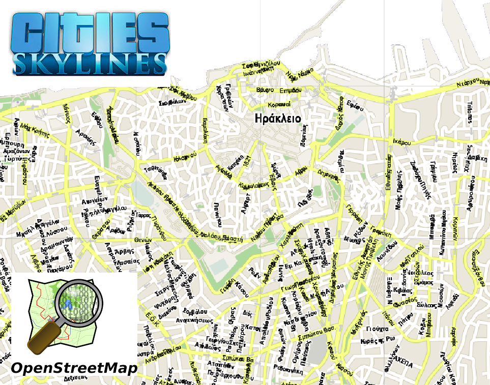
This should leave you with a square map of just road outlines, similar to the one on the image
3.7 Now export the image as overlay.png with a recommended quality of ~100dpi
(for a 22km size map at this quality it is roughly a 10-12MB file)

3.8 Copy this file (overlay.png) to ~/.local/share/Colossal_Order/Cities_Skylines/Addons/MapEditor/Heightmaps/
or the equivelant directory in Windows, unfortunately I do not know what that is.
Step 4 Create map in game
4.1 Firstly add the Overlay v2 add on from the Steam workshop
4.2 Go to game and create new map
4.3 Select “Import Height map”
4.4 Select the (Merged) png file from the downloaded content from terrain.party.
4.5 Then click the “!” icon that should be avaialable on top of the screen (left to the bird) that should display the overlay map on top of the terrain.
So now you are ready to create the highways, rivers, smooth out any rough terrain and make the map playable.
Then once you start a game on this map you can again display the overlay in order to allow you to create the different types of roads that are not allowed when creating the map.